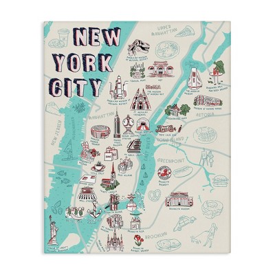
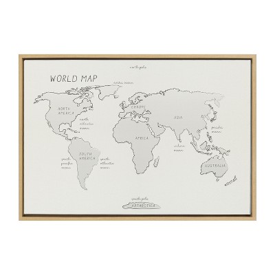
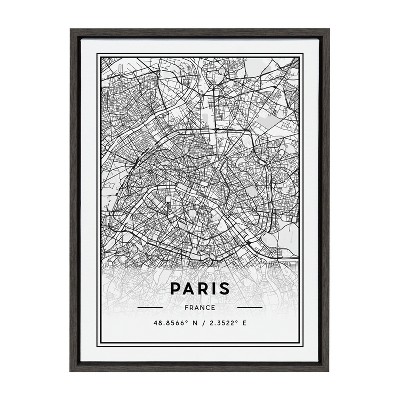
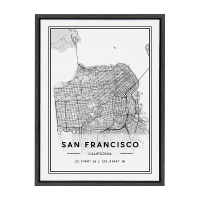
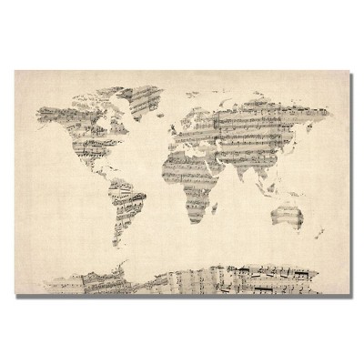
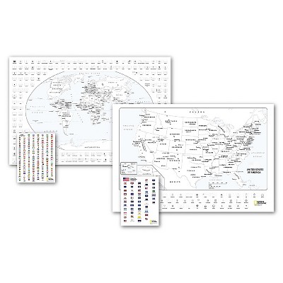
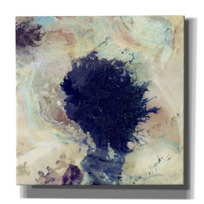
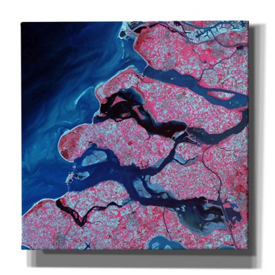
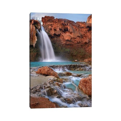
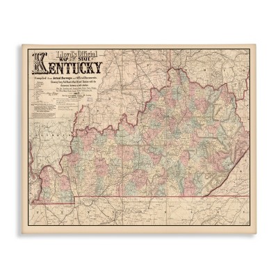
Most U.S. map canvases are printed on a thick, OBA-free cotton/poly blend canvas and gallery-wrapped around a natural wood frame. Some listings also reference acrylic as a material or finish component.
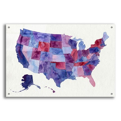
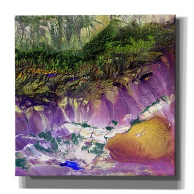
Detail varies by product: decorative or topographic art pieces may emphasize style over navigation, while the enlarged reference maps include all 50 states with insets for Hawaii and Alaska and clearly marked state/country boundaries, cities, national parks, physical features, and transportation routes.
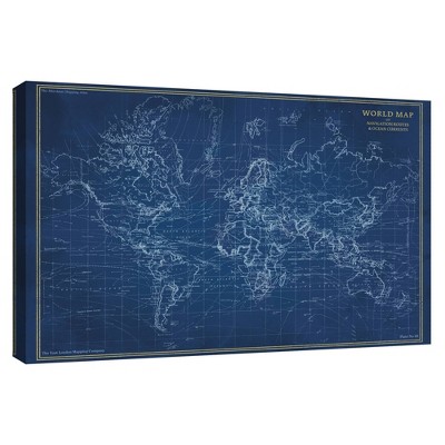
Gallery-wrapped U.S. map canvases are typically stretched and stapled around a natural wood stretcher frame to create a clean, frameless edge. The prints are usually made on OBA-free cotton/poly blend canvas; some listings also mention acrylic as a finish or protective material.
Laminated maps are encapsulated in a heavy-duty 1.6 mil laminate to resist humidity-related swelling and shrinking. Canvas art is printed on a durable cotton/poly blend and is commonly gallery-wrapped for a long-lasting, frameless presentation.
Canvas art is commonly reproduced using Giclée printing; some listings also note offset print or mixed media. Paper wall maps are printed on paper and then encapsulated in a heavy-duty 1.6 mil laminate for protection.
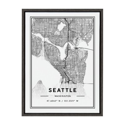
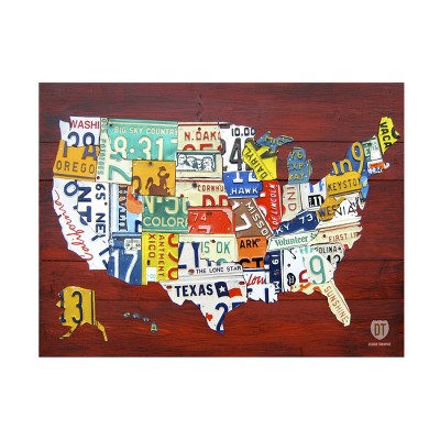
Map canvases are available in both vertical (portrait) and horizontal (landscape) orientations. Common framing styles include gallery-wrapped canvases stretched over natural wood stretcher frames (frameless appearance) and unframed prints.
Common styles include classic cartographic palettes (blue water and colored state borders), decorative palettes (coffee-brown or blue-and-white), collage or novelty treatments (for example, license-plate imagery), and topographic artwork emphasizing elevation and texture.