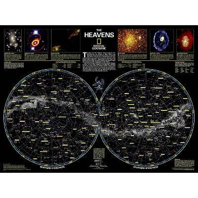
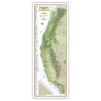
Common sizes shown include poster-size maps (around 36" × 24") and larger wall-map or enlarged sizes (about 69.25" × 48").
They typically include state-level maps plus brief essays and fact boxes that list population, state capital, statehood date, and state symbols (flag, bird, flower). Wall maps also show boundaries, cities, national parks and other physical features.
Many poster and coloring maps are rolled and shipped in a clear plastic tube about 2 inches in diameter, with a decorative label showing a thumbnail image and map dimensions.
Most map packs and posters are printed on paper; some enlarged wall maps are paper encapsulated in laminate, so listed materials include paper and plastic/laminate.
Enlarged laminated maps are presented at a much larger scale and are encapsulated in heavy-duty laminate for durability—providing a more immersive display. Poster-sized maps are smaller to maximize content in a compact footprint and are designed to fit standard poster frames.