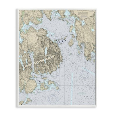
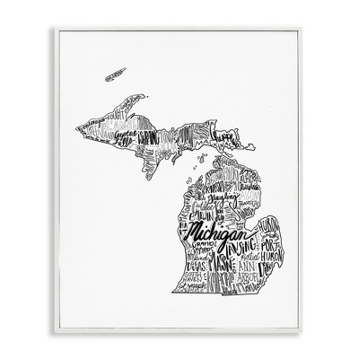
Map sizes range from poster-size 36" x 24" up to enlarged 69.25" x 48", with an intermediate 43.5" x 30.5" option noted in the available maps.
Maps include transportation routes such as interstate highways, major state routes, airports, waterways, canals, and ferries, and they display thousands of place names placed for legibility.
Maps are printed on paper and some versions are encapsulated in plastic lamination; laminated maps are described as being encapsulated in heavy-duty 1.6 mil laminate.
Poster-size maps (36" x 24") are designed to fit precut poster frames for easy framing and mounting. Laminated maps can be framed without the need for glass.
Coloring maps are black-and-white outline versions that include country and state flags which can be colored, and they include a bonus full-color letter-size sheet with all of the flags for reference.
The world map is drawn in the Winkel Tripel projection, which is noted in the map pack descriptions.
Suggested ages vary by edition — examples given include 7–12 years, 8 years and up, and 14 years and up — and the maps are described with an educational focus on geography.