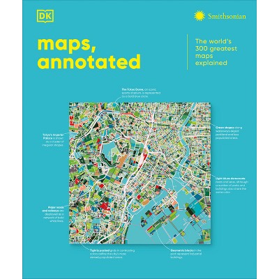
Mapas (Maps, Annotated) - by DK (Hardcover)
$51.17Save $8.83 (15% off)
In Stock

Free & easy returns
Return this item by mail or in store within 90 days for a full refund.
Eligible for registries and wish lists
About this item
Additional product information and recommendations
Discover more options
- $10.89MSRP $18.95
- $18.99 - $19.37MSRP $19.00 - $28.99
- $21.26was $23.99 New lower price
- $14.47 - $18.95MSRP $18.95 - $24.95
- $12.99 - $13.99MSRP $13.99 - $20.99
- $52.31was $59.99 New lower price
- $15.99 - $19.99
- $19.33was $20.99 New lower price


Frequently bought together
- $15.19MSRP $16.99
- $26.25MSRP $40.00
- $14.02MSRP $25.00
- $34.30MSRP $50.00
- $21.36MSRP $24.99


Guests also viewed
- $62.26MSRP $75.00
- $61.39MSRP $75.00
- $50.68MSRP $54.99
- $50.61MSRP $54.99
- $21.10 - $50.00MSRP $35.00 - $50.005 out of 5 stars with 2 ratings
- $16.71 - $50.00MSRP $23.00 - $50.00