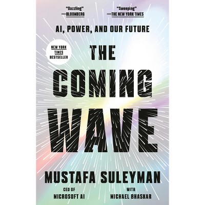
Image Analysis and Integration in Remote Sensing - by Catherine Williamson (Hardcover)
$161.00See 1 deal for this item
In Stock

Free & easy returns
Return this item by mail or in store within 90 days for a full refund.
Eligible for registries and wish lists
Available deals
Buy 2 get a free select music and books
In-store or Online ∙ Show items and details
About this item
Additional product information and recommendations
Discover more options
- $106.99MSRP $146.00Buy 2 get a free select music and books
- $110.00Buy 2 get a free select music and books
- $142.00Buy 2 get a free select music and books
- $112.99MSRP $156.99Buy 2 get a free select music and books
- $99.99MSRP $135.00Buy 2 get a free select music and books
- $138.00Buy 2 get a free select music and books
- $159.00Buy 2 get a free select music and books
- $160.00Buy 2 get a free select music and books
- $151.00Buy 2 get a free select music and books
- $108.99MSRP $146.00Buy 2 get a free select music and books
- $110.00Buy 2 get a free select music and books
- $110.00Buy 2 get a free select music and books
- $110.00Buy 2 get a free select music and books
- $114.99MSRP $155.00Buy 2 get a free select music and books
- $171.00Buy 2 get a free select music and books
- $121.99MSRP $165.00Buy 2 get a free select music and books
- $140.00Buy 2 get a free select music and books
- $153.00Buy 2 get a free select music and books
- $161.00Buy 2 get a free select music and books
- $153.00Buy 2 get a free select music and books
- $153.00Buy 2 get a free select music and books
- $146.00Buy 2 get a free select music and books
- $146.00Buy 2 get a free select music and books
- $148.00Buy 2 get a free select music and books


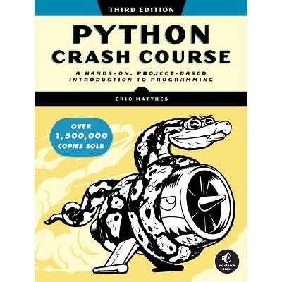
Best-selling Computers & Technology Books
- $9.99MSRP $21.00Buy 2 get a free select music and books
- $19.99Buy 2 get a free select music and books5 out of 5 stars with 2 ratings
- $56.86MSRP $69.99Buy 2 get a free select music and books
- $17.69 - $18.81MSRP $20.00 - $32.00 Lower price on select itemsBuy 2 get a free select music and books
- $38.20MSRP $65.00Buy 2 get a free select music and books
- $17.91MSRP $32.50Buy 2 get a free select music and books
- $37.99 - $39.49MSRP $59.99 - $69.99Buy 2 get a free select music and books
- $41.83MSRP $75.00Buy 2 get a free select music and books
- $9.40was $10.60 New lower priceBuy 2 get a free select music and books
- $28.42was $34.38 New lower priceBuy 2 get a free select music and books
- Highly rated$22.49MSRP $40.00Buy 2 get a free select music and books5 out of 5 stars with 5 ratings
- $14.89MSRP $26.99Buy 2 get a free select music and books5 out of 5 stars with 2 ratings
- $9.45MSRP $10.99Buy 2 get a free select music and books4.3 out of 5 stars with 3 ratings
- $66.90MSRP $89.00Buy 2 get a free select music and books
- $20.57MSRP $29.99Buy 2 get a free select music and books
- $31.49MSRP $57.00Buy 2 get a free select music and books4.6 out of 5 stars with 10 ratings
- $22.28MSRP $39.99Buy 2 get a free select music and books5 out of 5 stars with 1 ratings
- $47.04MSRP $85.00Buy 2 get a free select music and books4 out of 5 stars with 1 ratings
- $15.99 - $18.83MSRP $20.00 - $32.50Buy 2 get a free select music and books
- $27.53MSRP $49.99Buy 2 get a free select music and books
- $15.59MSRP $26.99Buy 2 get a free select music and books
- $29.99Buy 2 get a free select music and books
- $16.99MSRP $29.99Buy 2 get a free select music and books
- $7.99Buy 2 get a free select music and books5 out of 5 stars with 1 ratings