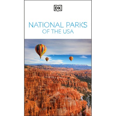
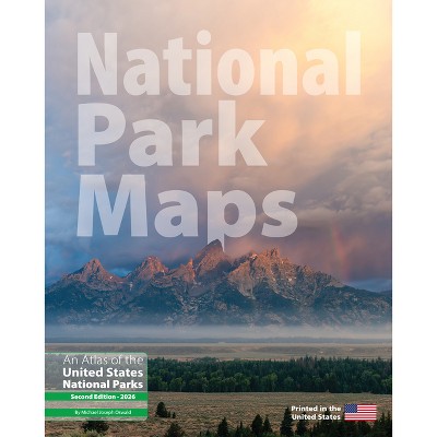
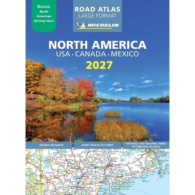
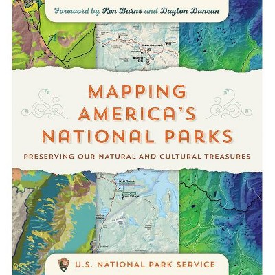
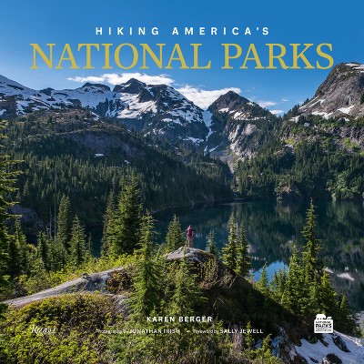
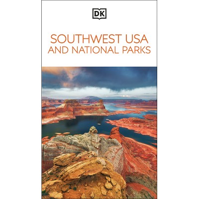
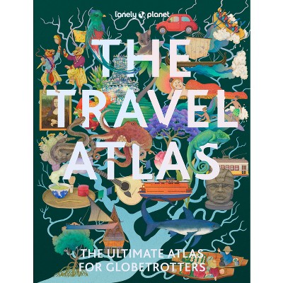
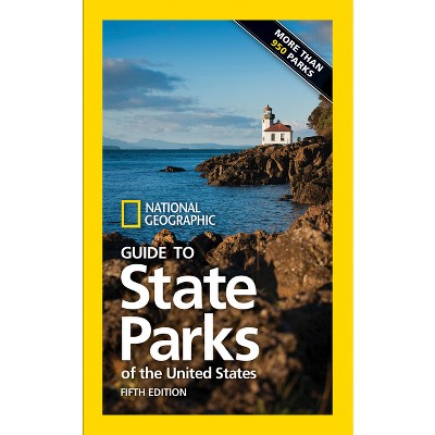
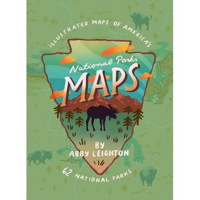
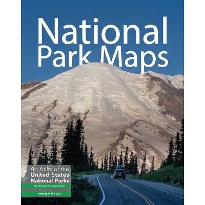
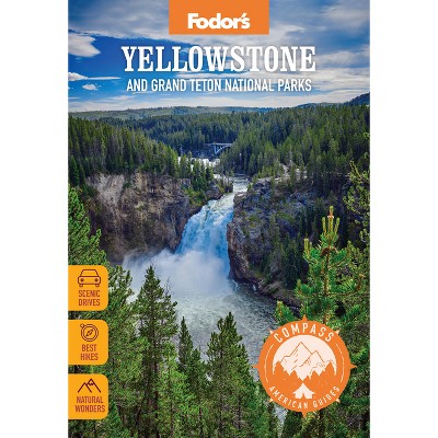
Coverage varies: some guides are U.S.-focused and map all 63 U.S. national parks, while atlas-format volumes take a broader North American view and highlight roughly 41 wilderness locations, including select sites in Canada and Mexico.
Portability ranges from pocketable guides to heavy atlas-format books. Some guidebooks are lightweight and easy to carry on a hike or in a glovebox (example dimensions: ~8.5 x 4.9 in, ~1.45 lb), while atlas-format volumes are much larger and heavier (example dimensions: ~14.0 x 10.7 in, ~6.5 lb) and better suited to car or home use.
Atlas-sized and atlas-format guides typically include large, full-color, legible maps designed for planning and in-car use—big enough to fit a back-of-seat pouch or spread on a passenger seat for navigation while driving.
Atlases commonly include thematic sections and data-driven graphics covering topics such as national trails, human impact, and other landscape or conservation themes. Example atlases list multiple thematic topics and many accompanying maps and graphics to provide context beyond basic park maps.
These map books come in paperback, spiral-bound, and hardcover formats. Listed dimensions range from pocketable sizes (about 8.5 x 4.9 inches) up to large atlas sizes (about 14.0 x 10.7 inches), so choose based on whether you need a carry-on guide or a larger planning atlas.
Guides typically include large, full-color maps, driving-distance charts, detailed maps and suggested driving tours, hand-drawn illustrations in some titles, suggested itineraries, and in atlas volumes, additional data-driven graphics to aid planning.
Besides maps, these books commonly offer hundreds of photos for previewing parks, driving-distance charts, suggested itineraries and curated 'favorites' lists, plus practical details like permit requirements, crowd/seasonal guidance, and closure information.
Most guides organize parks by region, using regional chapters (for example, eastern woodlands to southwestern deserts) and sometimes color-coded sections. This regional structure and chaptering makes it easy to plan routes and find nearby parks for a road trip.
Visual material typically includes extensive photography (often hundreds of photos), data-driven graphics that explain trends or features, and in some guides, hand-drawn illustrations that clarify geology or landscape features.